
Search Spencer Property Records
A Spencer lookup starts with the statewide assessment search. Enter a street, an owner, or a parcel ID there. Match the physical address, E-911 address, community, and legal description. Do not trust the city name alone. Open the parcel in the state viewer for map context. A deed or plat may be the real question. Move on to the Roane County Clerk's land-record categories then. Planning, demolition, street, water, and unsafe-structure matters belong to Spencer's own office.
- Search a Spencer road or owner in the WV Property Assessment Search and copy the parcel ID.
- Compare the E-911 address, community, and legal description to confirm the right parcel.
- Use the County Clerk deed index for a recorded transfer and the state parcel viewer for map context.
- Contact Spencer Planning & Development for a city permit, zoning, unsafe-building, or public-work question.
Two tools anchor a Spencer property search. The statewide assessment search and the County Clerk index carry the county-held trail of deeds and parcels. The Roane County property search page explains the search keys, since the city pages skip the county-wide office directory and search mechanics.
Where Spencer’s Local Records Live
Roane County keeps the assessment roll for parcels addressed to Spencer. The deed index and tax-map records also live there. The city handles its own side. It covers planning, public works, utilities, streets, parks, and unsafe structures. Its services pages describe those functions. The city publishes no address-based public permit or zoning search.
Roane County Property Records
County assessment, deed, tax, and parcel records cover Spencer property.
Spencer Planning & Development
City Hall, 116 Court Street
Spencer, WV 25276
304-927-1640
Spencer’s Names Before 1858
Spencer dates its founding to 1858. Its own history says a charter went to the Virginia General Assembly that year. Older records may say Tanner's Cross Roads or Cassville. It later became New California. The Spencer name honored Judge Spencer Roane. These aliases form a practical crosswalk for deeds, court notices, directories, and newspaper items that predate the current city label. A document's town name alone never proves which land it concerns. The settlement grew from early families and roads built in the 1850s, then became the county seat. A legal description of that era may name a creek, road, district, or lot rather than a modern street. Start with the known parcel and its parties. Then test the older place names against the deed description. An old town name by itself proves nothing. Two records can still describe different land. The City of Spencer's official home page carries the founding story from the city's own account.
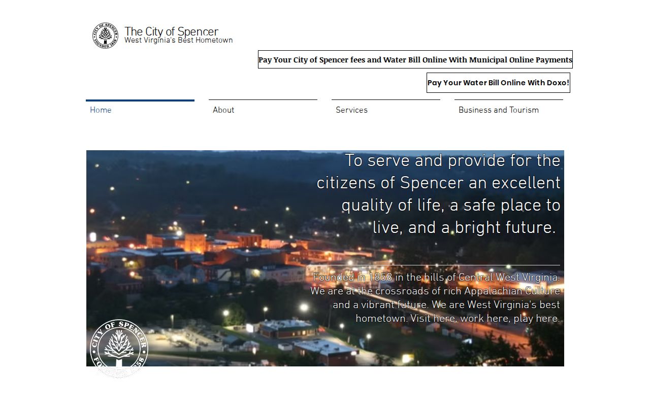
History gives the names; the deed confirms the land.
Spencer Routes, ZIP, and City Limits
U.S. 33 runs east to west across Roane County through Spencer, where U.S. 119 joins it. State Route 36 comes in from Clay County. State Route 14 heads north toward Wood County. These routes matter for old documents. When a modern street search fails, a deed or plat may instead describe a property by turnpike, highway, or route.
Spencer's mailing ZIP is 25276, but the official sources publish no ZIP-boundary map, annexation ordinance, or city-edge parcel inventory. A Spencer postal address can sit outside the corporate boundary. A nearby parcel may carry a rural community or E-911 label instead. Treat the ZIP as postal geography only. If the city limit matters, ask the municipal office for its boundary source and compare the parcel ID in GIS.
Spencer Neighborhoods and Recorded Plats
Spencer publishes no subdivision list. No plat-book identifiers, construction eras, or parcel-prefix groups appear in official city material. That gap is real; invented names would mislead. The County Clerk's land-record categories do include Plat Maps, so a Spencer lot's plat can be traced from its parcel ID and deed reference.
| Neighborhood / Subdivision | Era | In the Records |
|---|---|---|
| No named subdivision verified | Not established in inspected sources | Ask the County Clerk for a plat using the parcel ID and deed description. |
Start with the parcel's legal description. Copy the district-map-parcel ID. Request the matching plat. Then line up the road, lot, and easement notes against the deed. Heritage Park, Robey Theater, the depot museum, Washington Park, and Griffith Park are landmarks and public places rather than subdivisions. The Roane County parcel-map page explains how to read the map without treating its lines as a legal boundary.
Spencer Permit and Public-Work Requests
Spencer's services page lays out City Hall's functions. The list includes the Office of the Mayor, City Clerk, Director of Planning & Development, public works, water and sewer, streets, parks, safety, unsafe-structure work, and economic development. Any of those offices can hold records of a city action affecting a parcel. No permit search or zoning map appears on them. Ask Planning & Development directly. Ask whether a building, demolition, unsafe-structure, zoning, water, sewer, street-opening, or planning file exists. Give the address, parcel ID, and rough time span. If the city is not the custodian, ask where the record lives. A specific West Virginia FOIA request should name the record type and seek electronic copies. The official Spencer services page is a contact and referral page. It is not a searchable permit database.
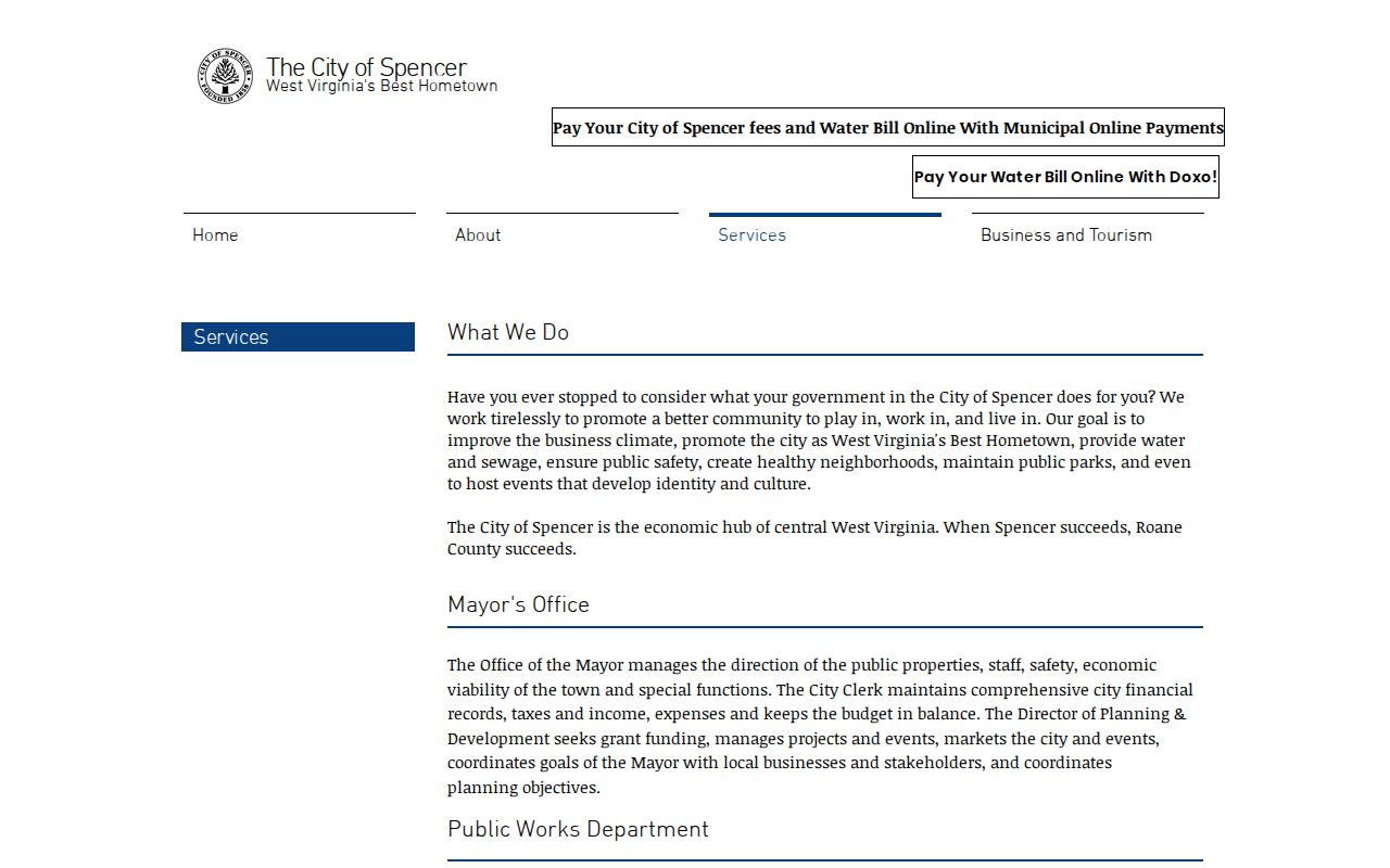
Try City Hall for work, the Clerk for deeds.
Spencer’s Hospital Campus and Large Parcels
Spencer State Hospital opened in 1893 on 184 acres that Roane County donated. It closed in 1989. The campus left a distinctive footprint. It included support farms, access roads, water and power facilities, and recreation land. So a parcel in or near that campus may sit under a state, county, institutional, or successor name. It may not sit under a private household name.
Trace these large parcels through deed records, plats, public ownership records, and assessor fields. Compare them with residential land in Roane County only after that. A facility or farm may have been divided or repurposed after the closure. Treat the institutional history as a clue for a property search. It says nothing definitive about a current parcel's owner of record or value.
Spencer Population and Value Context
The 2020 Census incorporated-place table lists Spencer at 2,063 residents. Local history puts the city's 1980 peak at 2,799. Those counts describe people, not parcels, sales, or appraisal values. No official Spencer-specific revaluation study, named subdivision trend, or recent sale series exists. Population alone cannot settle a value question.
For a value question in Roane County, compare the parcel's assessment fields and recorded deed history instead of inferring a citywide trend. West Virginia generally assesses at 60 percent of fair market value. The statewide annual tax roll can also lag a simple recent sale. A parcel near a former institution, railroad, or commercial corridor may carry a different land-use history than a typical house lot.
Note: The Census incorporated-place table identifies Spencer's row and population count.
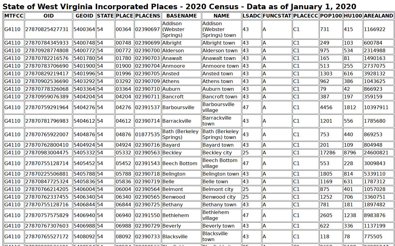
Use population only as city context; it is not an assessment or value trend.
Spencer Parcel Changes and the Assessment Calendar
The state assessment record is an annual snapshot. It is not a live deed feed. Roane County property data is prepared for the July 1 assessment date, so a recent Spencer conveyance may not immediately replace the listed owner of record. Even an uncomplicated transfer can lag once it is entered. A parcel split or map change can take longer still. Keep the deed date, tax year, and map identifier together rather than reading a current owner field as a real-time title index.
Tax-map changes tied to transfers from July through June are due by February 1 for the next cycle. That schedule explains why a new lot in a recorded plat may not yet appear as a separate assessment parcel. For a purchase or a family-property review, compare the recorded conveyance, the current assessor card, and the plat map. If those disagree, ask the Clerk about the instrument. Ask the Assessor about the roll or map update. Each office controls a different part of the property records.
Reconciling a Spencer Street Address
A property search result can display several labels at once. These can include a physical address, an E-911 address, a community label, and a legal description. Each serves a different purpose. The physical or mailing address helps locate the site. The community field may describe a broader settlement. The legal description identifies the land in the deed itself. If an address will not match a city reference, use the owner name or parcel number to reach the likely assessment record. Read all of its location fields before deciding it is the right property.
Near a road junction or former institutional tract, landmarks can help orient the GIS map. They are not evidence of a legal boundary. Retain the full parcel number, including leading zeros or prefixes. Note whether it came from the viewer or the CAMA tax roll. For a city service or zoning question, give Spencer staff the postal address. Include the parcel ID as well. That gives the city a useful locator. Do not treat the assessor's community label or ZIP code as a municipal jurisdiction determination.
What Spencer Property Records Can Show
Spencer property records can show a parcel's assessment owner, deed history, tax status, map context, and municipal files when city staff hold them. Every limit matters here. The owner field can lag a new transfer. The tax map is not a survey. A city service page is not a permit search, and a property assessment is not a market appraisal. Use the right custodian for each question, and compare the parcel number and legal description across sources in Roane County.
Lawful use. Spencer property records support house history, property due diligence, and civic review. Do not use owner data to stalk, threaten, harass, or harm anyone. A record lookup is not a title opinion.