
Read a Roane County Parcel Map
The West Virginia Property Viewer maps surface parcels. Parcel geometry comes with address details, assessment figures, flood context, a selected-parcel card, map controls, and external map links. It orients a parcel among its neighbors fast. For legal descriptions and boundary questions, the deed, recorded plat, or survey remains the authority.
| Layer | What It Shows | Use |
|---|---|---|
| Surface parcels | Tax-map polygons and parcel IDs | Find and orient a parcel |
| Selected parcel card | Owner, address, description, building, cost, appraised values | Cross-check an assessment result |
| Flood information | Effective 100-year and advisory hazard context | Screen for a follow-up review |
| Delinquent Lands | Weekly-updated delinquent-land layer | Find a tax-status lead, then confirm it |
| External links | Street View, map services, and related tools | View surrounding geography |
Parcel labels include Property Owner, Physical Address, Description, Building Information, Cost Values, Appraised Values, E-911 Address, Community, Delinquent Status, and Flood Info. Roane County's ArcGIS app offers a second map source. Its interactive design presents labels visually rather than as plain text. The state parcel viewer remains the main entry point for Roane surface parcels.
Roane County Parcel Map Search Steps
Start with an address or parcel number in the state viewer. Then compare the map card against the assessment search result. Keep the map view and the exact identifiers together. Rural addresses and multi-community labels invite mix-ups. The full parcel ID is safer than guessing at a nearby lot.
- Search the known address or choose the parcel on the WV Property Viewer map.
- Record the county, district, map, parcel, suffix, and GIS ID as shown.
- Read the selected card’s description, owner, E-911 address, community, and value labels.
- Use Copy Link or Download KMZ for a working map reference, then open the deed or plat for its legal description.
- Parcel ID
- A tax-map key that links assessment and map records.
- GIS ID
- A map identifier that may omit part of the full root parcel number.
- Plat
- A recorded map of lots, roads, or easements referred to by a deed.
- Legal description
- The land text used in a recorded conveyance, not just a street address.
Read Roane County’s Six-Part Parcel ID
West Virginia's root parcel ID has six elements: county code, district code, map number, parcel prefix, parcel suffix, and special ID. The GIS ID drops the special ID. CAMA and IAS IDs drop the county code. Shorter district-map-parcel forms also circulate. Because portals can display the ID differently, copy the complete version from the result rather than reconstructing a piece from an example.
The state assessment search splits the ID into separate fields. Full Parcel ID, Map Number, Parcel, and Sub-Parcel each get their own box. That is why a short map label works in one place and fails in another. Keep the full ID, the GIS ID, and the deed legal description as parallel references. A name or road search can locate a card. The ID still links map and assessment best.
Surface Parcels and Mineral Maps
The standard WV Property Viewer shows surface parcels. Mineral parcels live in a separate system. The state notes that mineral-map coverage is selective through its Mined Minerals GIS section. A surface polygon leaves subsurface interests invisible.
For surface ownership, pair the county or statewide parcel map with the assessment and deed. Mineral questions call for the separate state mineral mapping source. Confirm the underlying recorded instruments there. A missing mineral polygon never means no mineral interest exists.
Roane Acreage and Boundary Cautions
West Virginia's assessment FAQ gives a clear rule. Deeded acreage controls when it differs from calculated GIS area. The map area is only an estimate. Tax-map polygons are best-fit visualizations built from deed descriptions and surveys, and state guidance calls them inconclusive evidence of ownership in court. A straight on-screen line can lie. It may miss a fence, stone, road edge, or surveyed corner.
Before a land split or conveyance, read the deed's legal description and any recorded plat. New split geometry can lag while county changes are submitted. If a line stays wrong two years after transfer, the FAQ says to contact the assessor. That path fixes the map. It does not settle who owns the strip.
The official state FAQ on acreage and map limits explains why a tax map should not drive a deed decision.
Treat the FAQ as a guide to system limits. Then compare the specific Roane parcel to its deed and survey.
Roane Flood and Delinquent-Land Layers
The state viewer maps flood information for effective 100-year hazard areas plus high-risk advisory or updated zones. This layer gives context. It is not an insurance determination or site survey. If the panel flags a flood issue, open the underlying map source and ask a floodplain or insurance professional to interpret it for the parcel.
Delinquent Lands refresh weekly in the state viewer, and the layer can flag a tax-status question. Delinquent status is not a completed tax deed. Confirm with the State Auditor or county collections office, and review later deeds or court orders before drawing a conclusion.
The statewide parcel panel also links to external map services. Those views help you orient. They do not replace the legal description.
Roane GIS Downloads and Map Links
The state parcel viewer ships with Copy Link and Download KMZ buttons. A copied link locks in the exact parcel view you had on screen. A KMZ file moves that surface-map data into compatible mapping software. Through SB 588, the State GIS Clearinghouse distributes digital surface tax maps and GIS layers at no charge. Data flows in through a state and local submission process.
Downloads suit bigger comparisons across many parcels. Their refresh schedule and attribute detail can lag behind the live assessor record, though. For a single parcel, stay in the state viewer. When a map line or a split looks stale, contact the Roane Assessor rather than trusting the file. The WV GIS Clearinghouse page is the official source for the digital tax-map files. It also lists what downloads are available.
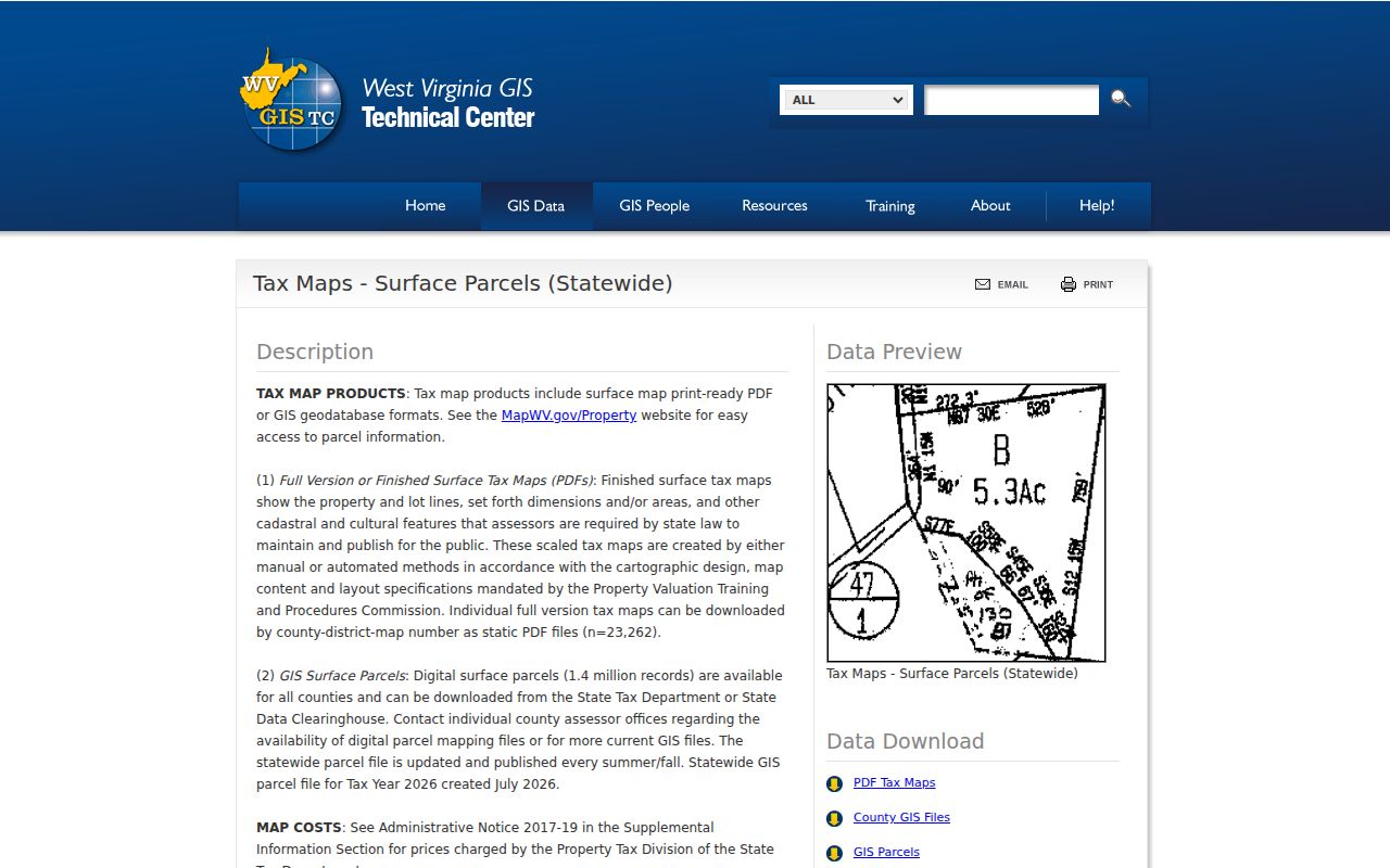
Use the clearinghouse for GIS data work and the parcel card for current owner and value labels.
Roane Plats and New Parcel Splits
Plat maps appear in the Roane County Clerk's land-record list. Bring the deed legal description and parcel ID when you ask for a matching plat. Lot numbers, road references, and easements on the plat should be compared against the deed. The Clerk offers no named subdivision list or plat-book index for the county. An address alone may not pinpoint the right map.
New parcel lines rarely appear right after a split. West Virginia builds its annual surface parcel file from county GIS submissions plus assessment attributes. If the split is still missing, confirm the deed or plat recorded cleanly first. Then ask the Assessor about the map update. A recorded plat gives helpful context. But boundary and rights disputes still call for a survey.
Find a Roane County Parcel by Address
Map searching starts with an address. But the legal record trail follows the parcel and its description. A full rural address may return nothing. Try the road name instead. Community, E-911, physical address, owner, and parcel ID then help separate similar cards. A postal label never proves the land lies inside an incorporated town.
- Search or pan to the known Roane address in the state or county viewer.
- Select the parcel and note the displayed ID, physical address, E-911 address, and community.
- Open the assessment record and turn on legal-description or GIS-ID details where offered.
- Use the County Clerk deed and a recorded plat to compare the land description before relying on the map shape.
- Parcel number
- The assessment and tax-map key for a land unit.
- Plat
- A recorded map that can show lots, roads, or easements.
- E-911 address
- An emergency location label, separate from the deed’s legal description.
- Deeded acreage
- Acreage stated in the recorded land description; state guidance gives it priority over calculated map acreage for assessment.
Reading Roane’s Rural Address Fields
A Roane parcel can carry several labels at once: physical address, E-911 address, community name, mailing address, and legal description. The state viewer keeps some of those fields separate. A road or route number on an old deed may not resemble the current emergency address. Save every label from the card. That way a later deed or plat can be matched by more than one clue.
U.S. 33 runs through Spencer. U.S. 119 meets it there. State Routes 36 and 14 reach toward other parts of the county. Reedy's history ties to the Ravenswood-Reedy Turnpike and Reedy-Spencer Road. Road names like these help decode an older description, but they draw no legal boundary. Match ownership through the parcel ID and recorded deed.
What Roane County Parcel Maps Cannot Prove
A GIS parcel map is a search and orientation tool, not a boundary ruling. Lines can be approximate. Acreage is often just calculated. Surface mapping says nothing about mineral ownership, and a screenshot can neither confirm a deed's legal effect nor settle an easement. When a fence, sale, access, or building decision turns on a precise line, rely on the recorded description and a licensed survey.
Not a survey. Roane County tax-map lines are visual references and are not conclusive evidence of title. Check the deed and recorded plat, and hire a licensed surveyor when the exact line matters.